
Site survey and raw scan
We choose the antenna and equipment for the soil condition and moisture level, for optimum penetration and data quality.

Ground Penetrating Radar surveys that map every underground utility before you break ground. Avoid service disruption and expensive remedial action.
We are a leading provider of underground utility mapping. Our GPR scanners use radio waves to detect all types of buried objects, and we handle projects of all volumes and dimensions.
GPR is a non-destructive way to detect hidden elements without damaging the structure. We use a mix of equipment and software that maximises ground penetration, giving rapid data acquisition, a live view of sub-surface structures and anomalies that can be viewed and noted in three dimensions.
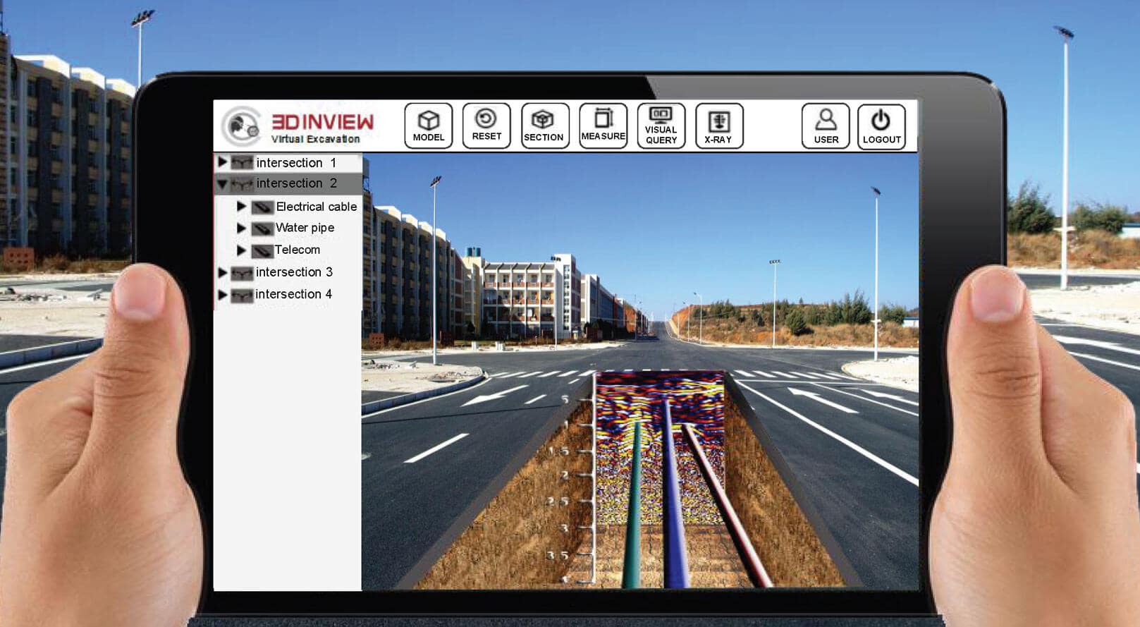
We choose the antenna and equipment for the soil condition and moisture level, for optimum penetration and data quality.

Geophysical data experts process the data with the latest software, then create detail drawings and reports for your approval.

Detailed GIS models with utilities and markups for virtual walkthroughs above and below ground, tagged using ZooomDoc.